| |
| The Netherlands - Provinces. Maps |
 | Belgii sive Germaniae Inferiores Accuratissima Tabula. | Hondius, H. | 1631 |  2.250 2.250 |
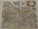 | Novus XVII Inferiores Germaniae Provinciarum Typus de integro multis in locis emendatus a Guil. Blaeu | Blaeu, Guliel. | 1640-43 |  2.800 2.800 |
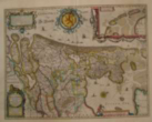 | Comitatus Hollandiae Novissima Descriptio | Bath. Floris v. Berckenrode | 1629 |  1.890 1.890 |
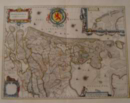 | Hollandia Comitatus | Blaeu, Guliel. | 1663 |  1.345 1.345 |
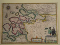 | Zeeland (No title cartouche) | ( Pieter van de Keere) Kaerius, Petrus | 1590 (Appr.) |  2.150 2.150 |
 | Delflandia Schielandia Et Insulae trans Mosam | Blaeu, Guliel. | Appr. 1660 |  1.490 1.490 |
 | Belgium Foederatum | Nicolaum Visscher | Ca. 1665 |  1.100 1.100 |
 | Belgium Seu Germania Inferiores | Porro, Gir. (Active 1572-1596 | 1594-96 |  310 310 |
| | Zeeland. Le Comté de Zeelande | Sanson, Nicolas | 1692 |  1.450 1.450 |
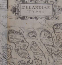 | Zelandiae Typus | (Langren, A. en H. van) | Appr. 1605 |  895 895 |
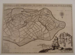 | (Over-Flakkee) Generale Kaart Van Den Lande Van Over Flaquee | Jan Luiken Fecit, A.Steyaart Invenit en I.Stemmers Sculpsit | 1729 |  985 985 |
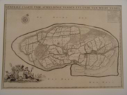 | Voorne, West: Generaale Caarte Ende Afbeeldinge VanDen Eylande Van West Voorn | Luiken, Steyvaart and Stemmers | 1729 |  795 795 |
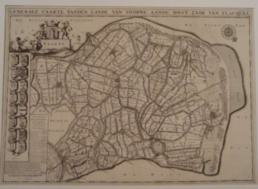 | Voorne/Flakkee: Generale Caarte Vanden Lande Van Voorne Aande Oostzijde Van Flacquee | Luiken, Steyvaart and Stemmers | 1729 |  985 985 |
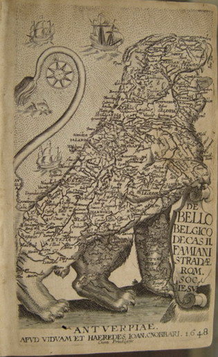 | Leo Belgicus | NN. | 1648 |  975 975 |
